
Walking a Blackman Township Street Directory
A street-by-street search begins with land, not a claimed household list. The current parcel and assessment screens identify the physical location and recorded owner field. The deed index can then connect that parcel or name to instruments. Election records and historic directories add carefully bounded clues, but neither should be used to infer who is inside a property today. Keep the map result, current owner display, recorded party, and historical address in separate notes with their dates.
- Enter the complete address in the Jackson County Parcel Viewer or Blackman BS&A, and confirm that the parcel is in Blackman Township.
- Save the situs address, parcel identifier, legal-description clue, and owner display exactly as the assessment source shows them.
- Use the owner name or correctly formatted parcel number in CountyFusion, then trace deeds by prior grantee and instrument date.
- Use Michigan.gov/Vote for its intended status workflow. For an authorized geography-bounded voter-data request, use the formal QVF route and respect its exclusions.
- For past address research, compare the result with a criss-cross directory, atlas, newspaper, obituary, or cemetery clue rather than treating one old entry as a complete household record.
That order moves from a known location to records that explain different relationships to it. The name attached to a mortgage, a deed, an assessment display, or a historic street entry can represent different moments and roles.
Blackman Township Street Records Boundary Check
Blackman Township borders the City of Jackson, so the Jackson postal city on an address does not resolve municipal jurisdiction. A ZIP code, mailing address, precinct, and parcel municipality also answer different questions. Use the County Parcel Viewer and township assessment source before joining a street result to Blackman. A mailing line can belong to the property owner elsewhere, while the situs address identifies the location of the parcel.
The County Parcel Viewer is a mapping and assessment tool with selected-parcel information, parcel report PDF, full-page map PDF, mailing-label PDF, and CSV export controls. It also has map layers, measurement, and buffer tools. The county warns that parcel lines are not survey grade. The map is excellent for a first street check, but an official boundary question belongs with the appropriate township or county office.
Address rule. Preserve the full displayed address, including directional, street type, unit, postal label, ZIP, and parcel identifier before testing a variant.
Blackman Township Address Search in BS&A
Blackman BS&A Online provides public search modes labeled Address, Name, and Parcel Number. Its municipal services include detailed record search, current tax search, utility billing record search, special assessments, delinquent personal property, assessing, fee payment, and bills. The address mode is the right first route for a physical location. A result can provide assessment context, but payment-oriented services are not evidence that a person currently lives there.
| Available entry | Street-search use | Important limit |
|---|---|---|
| Address | Find the displayed parcel from a physical location | Keep the street form exactly as the system returns it |
| Name | Check an assessment display by the recorded name | Do not convert a name match into present occupancy |
| Parcel Number | Return to a defined assessment record | Use the municipal identifier, not an assumed format |
| Detailed Record Search | Open a more targeted municipal search route | Exact dynamic fields and coverage were not captured |
The township assessor page names Arnold Dolman and lists email and phone contact, while the county assessor list uses a different phone number. Verify the current contact before a time-sensitive question. The township office at 1990 W Parnall Road is also the local route for assessment, building, and FOIA questions.
A capture of the Blackman Township assessing department accompanies the municipal search route.
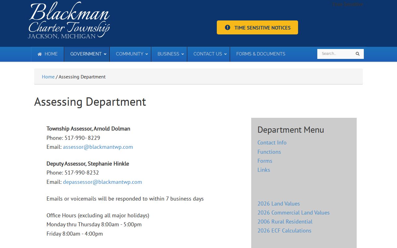
The assessment office is the correct place to clarify an existing local record when a public display, parcel jurisdiction, or address format needs confirmation.
Blackman Township Parcel Map by Street
The Jackson County Parcel Viewer lets a user search, zoom, click a parcel, and work from the Info, Themes, and Layers controls. The selected parcel can be examined through More Info, Parcel Report PDF, Full Page Map PDF, or export controls. For a named road, that makes the map a practical way to see the sequence of parcels and the current assessment geography without assuming that nearby parcels represent a social group.
GIS also supports Shift-drag multi-selection, Ctrl-click to add or remove selected parcels, More then View All, and a buffer distance in feet. Buffer is unavailable with multi-selection. These functions help document physical proximity, but roads, rights-of-way, commercial parcels, vacant land, and easements can interrupt actual contiguity. Record which parcels touch and which only fall within a chosen distance.
The Jackson County GIS information page is the source for the county’s parcel and addressing context.
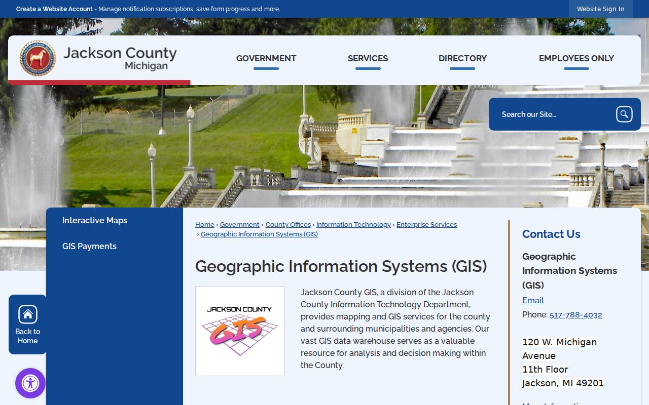
GIS staff also support address and street-centerline management, 911, voting information, aerials, and LiDAR, which explains why the map is useful for location context rather than a resident roster.
Blackman Township Address-Keyed Records
A Blackman street search works best when every source stays in its own lane. The parcel display is current mapping and assessment context. A recorded instrument can establish a transfer or other filing. Voter sources have election administration limits. Permit and address files can explain a location’s official history, but no public indexed Blackman permit-history database was found. Older address work belongs with library and archives sources after the parcel and deed trail is recorded.
| Address-keyed source | What it contributes | Access channels | Do not assume |
|---|---|---|---|
| BS&A and assessment records | Situs, parcel, assessment context, owner display | Online search, assessor, township office, existing-record request | Owner display equals occupant |
| County Parcel Viewer | Parcel placement, legal-description clues, map reports | Online viewer, GIS office, PDF or CSV export | Parcel lines are survey grade |
| Register of Deeds instruments | Recorded parties, instrument date, legal description | Guest portal, counter, phone, mail or copy request | Every deed includes a parcel number or image |
| Voter services and QVF | Status workflow or a formally scoped public-data request | MVIC, local clerk, County Elections, Bureau of Elections | Public status is a street roster |
| Address or permit file | Existing addressing, zoning, or building record | Township office, fax, mail, email, FOIA request | A public searchable permit database exists |
An address-focused search should stop at the evidence actually shown. If the question changes from a whole road to one person’s record, use the office, court, state, or historical source that owns that particular record.
- Parcel
- An assessment and mapping unit identified by a parcel number and related legal-description context.
- Situs address
- The physical location of the parcel, which can differ from an owner’s mailing address.
- Plat
- A recorded map that can identify a subdivision, lot, or unit boundary for land research.
- Criss-cross directory
- A reverse directory arranged by street and house number for its edition year.
Deed Chain Along a Blackman Township Street
CountyFusion is the public starting point for deeds, mortgages, liens, plats, assignments, discharges, leases, land contracts, condominium instruments, surveys, affidavits, and court orders recorded by the Jackson County Register of Deeds. Begin with guest login and Search Public Records. A name search expects last name, a space, then first name. Document types begin at All Document Types and can be narrowed. The blue document number opens a result detail.
For a parcel search, leave the name blank and enter the 15-digit number without dashes. City of Jackson parcel numbers use one dash. Then record the date, parties, document type, and legal description before searching the earlier grantee. A legal description may survive an address change where a current house number does not. Images can require Save Image, Download, Accept, and credit-card payment. The Register also provides office and copy-request routes.
The Jackson County Equalization page provides the county property-record context used alongside a deed-chain search.
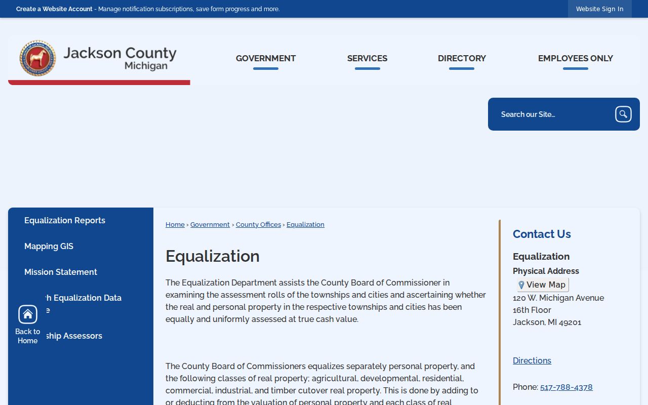
Assessment and deed sources complement each other: one helps identify the current parcel context, while the other preserves the recorded instrument trail.
Note: A mortgage, lien, or release can be relevant context but is not itself a transfer of title.
Blackman Township Parcel Format Gap
One local search quirk deserves its own check. The County Parcel Viewer may display a dashed parcel identifier such as 000-08-15-351-001-02. County deed instructions call for a 15-digit parcel number without dashes, and a City of Jackson parcel number uses one dash. Copying a number faithfully is not enough if the next system expects a different format. Try the display format only where the receiving portal tells you to use it.
The Register’s own coverage statements also differ. Its page describes deed coverage as 1964 back to 1800, while the FAQ describes name search as 1965 to present. Neither statement guarantees image availability or an index for every Blackman parcel. Treat the one-year discrepancy as a prompt to check the portal, counter, or archival index rather than a reason to stop a historical search.
Blackman Township Address Applications and Permits
The Blackman Building Department offers an Address Application, Zoning Application, building permits, electrical, mechanical, plumbing, sign, site-plan, and complaint forms. Forms may be printed or filled in and brought to the township office, faxed to 517-788-4689 attention Building, or mailed to 1990 W Parnall Road. BS&A also lists building-department fee payment, but that payment function does not establish a public, address-searchable permit file.
When a historical address has changed, an existing address application, zoning file, or site-plan record may connect the newer location to older parcel or road context. The research did not capture the application’s full checklist, so it is not appropriate to publish a field-by-field instruction list. Ask the township for an existing record by parcel, address, and date range. If a record is not published, use the township FOIA channel instead of assuming it is available online.
Historic Blackman Township Street Names
No official townshipwide street-renumbering log or historical street crosswalk was located. That gap makes a direct modern-address search weak evidence for a past household. Search the current and former road name where known, then work through section, township, range, subdivision, plat, legal description, and the chain of recorded instruments. A section or lot reference can persist even when a road name or parcel number no longer performs well in a search box.
Jackson County Genealogical Society landowner atlases and plat maps run roughly from the 1830s through the 1990s. The Jackson city-directory shelf can also provide a street-section clue, although inclusion of a township address varies by edition. Record the edition’s geographic scope before relying on it. The historical collections themselves are described in the Blackman Township city directory reference.
Blackman history can add search terms such as Coal Basin, railroad, fire clay, sewer pipe, paving brick, brewery, cigar, corset, or oil heater when a map or directory points to an industrial landscape. Those words are historical context, not proof that a named person held a particular role.
Limits of a Blackman Township Street Directory
Address records do not create a complete picture of the people at a location. A parcel owner may receive mail elsewhere, own more than one parcel, or have a parcel with multiple units or nonresidential use. A historic directory entry is evidence for its edition year, not a present-day address confirmation. The public voter-status service is not a street list, and public court results have case-type exclusions and filters.
Michigan protects driver-license address information under the Driver’s Privacy Protection Act and MCL 257.208c. The Address Confidentiality Program supplies substitute addresses for eligible participants, and those records are not ordinary FOIA material. Do not attempt to fill gaps from partial records or combine results into an exposed street-by-street profile.
Lawful personal research. Use street and parcel records for a legitimate record question, and never use them to stalk, harass, intimidate, or expose a protected address.
Blackman Township Street Record Request Routes
Online screens are only one access channel. The township assessor, Building Department, and FOIA Coordinator can address existing township records. The county GIS office can help with county map and addressing context. The Register of Deeds offers portal, office, phone, and copy-request options for recorded instruments. Jackson County Elections and the Michigan Bureau of Elections handle voter questions and the QVF request process. Jackson District Library, JCGS, Library of Michigan, and Archives of Michigan provide historical research channels.
Michigan FOIA, MCL 15.231 et seq., applies to nonexempt existing records. The state guidance describes five business days for a response, with a possible ten-business-day extension. For Blackman Township, email clerk@blackmantwp.com, send mail or deliver a request to the FOIA Coordinator at 1990 W Parnall Road, or fax 517-788-4689. Put “FOIA” or “FOIA Request” first in the subject line, then identify the address or parcel, record type, date range, and requested format.
Use the custodian’s own request path for a certified copy, court file, deed image, or vital record. An online index, map label, directory scan, and certificate are not interchangeable records.