
Blackman Township Neighbors by Parcel
Public sources answer different questions about Blackman Township neighbors. The county parcel viewer is the useful starting point for an address and its surrounding parcels. Blackman BS&A can provide township property-search context. Election systems describe jurisdiction and precinct administration, but a precinct is not a household list. The historical directory and atlas collections can add dated address context. Each result needs a date and source because an owner display, a directory head, and a voter record refer to different roles.
| Source | What it shows | Access |
|---|---|---|
| Jackson County Parcel Viewer | Mapped parcels, selected parcel information, PDFs, and nearby-parcel tools. | Public web viewer. |
| Blackman BS&A Online | Address, name, and parcel property-search entry points. | Public search entry. |
| Michigan voter services and QVF request | Registration checking or limited request geography such as jurisdiction and precinct. | State and local custodian channels. |
| Historic directories and atlases | Dated address, street, section, lot, and local-history clues. | Library, archive, or genealogy collection. |
Owners shown in assessment information are not necessarily occupants. A nearby parcel can be vacant, public, commercial, or divided by a road or easement. Treat a map result as evidence of physical geography, then request the relevant underlying record if a specific official question remains. It is not a complete register of the people on a block.
Blackman Township GIS Neighbor Tools
The Jackson County Parcel Viewer has practical tools for examining the physical area around an address. Search, zoom, or click a parcel, then use the Info view, parcel report PDF, full-page map PDF, and map controls. Shift-drag selects multiple parcels and Ctrl-click adds or subtracts a selection. More, View All, mailing-label PDF, and CSV export controls are also documented. Those features make it possible to inspect a small set of parcels without presenting a bulk block owner map.
The Buffer control selects parcels within a distance measured in feet, but the research notes a key limitation: Buffer is unavailable with multi-selection. Use one method at a time. Parcel lines are not survey grade, and the county warns that map data need verification. A selected parcel is a map research aid, not a surveyed boundary or a claim about a neighbor relationship.
The captured Jackson County Parcel Viewer shows the map, selected-parcel, PDF, export, and measure controls used for a Blackman Township neighbors search.
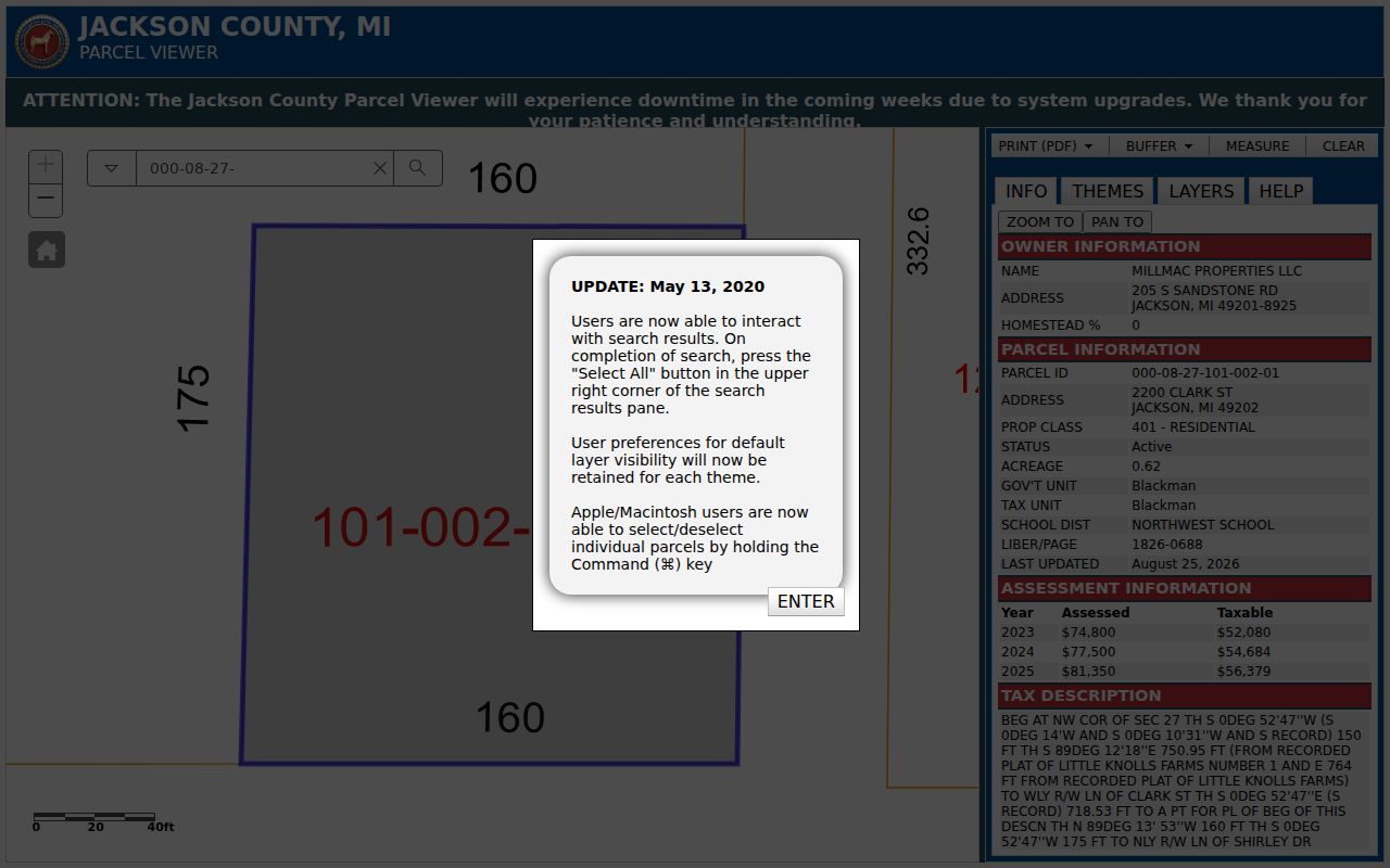
Use the visible controls to document a few relevant parcels, then preserve the record date and map context with the result.
Map Blackman Township Neighbor Parcels
Start with a confirmed Blackman Township address and map outward in a small, defined area. The goal is to identify whether parcels are actually adjacent and which public source describes them. A road, right-of-way, easement, vacant strip, or noncontiguous lot can make two nearby parcels look like immediate neighbors when they are not. The viewer supports a disciplined parcel method, while a broader named-street record chain belongs in the street directory.
- Locate the subject address in the county viewer and note its parcel identifier, situs address, and municipality.
- Click the north, east, south, and west touching parcels individually, recording the parcel IDs and visible owner-display context.
- Mark any road, right-of-way, public parcel, or gap that prevents true contiguity.
- Use More and View All for a small selected set, or run a single-parcel buffer when a measured radius is useful.
- For a full named-street sequence rather than immediate parcels, use the Blackman Township street directory.
A process flow helps keep the roles clear: confirmed address to subject parcel, subject parcel to touching parcels, parcel to owner display, then owner display to the custodian record if confirmation is needed. Do not replace the last step with assumptions about who lives at an address.
Note: A physical parcel pattern can explain the block, but it does not establish a social, family, or occupancy relationship.
Blackman Township Neighbor Adjacency Limits
Adjacent is a land description, not a personal description. The county map can identify a parcel beside, behind, or across from another parcel, but a street or right-of-way may separate them. One parcel may contain a business, a public facility, open land, multiple units, or a mailing address unrelated to the situs. The map’s owner name is an assessment field and should not be treated as a current occupancy statement.
| Touching parcel | Shares a recorded boundary, subject to the viewer’s non-survey disclaimer. |
|---|---|
| Across a road | Nearby, but commonly separated by a public right-of-way. |
| Buffer result | Within the selected distance in feet, not necessarily contiguous. |
| Owner display | Assessment context that may differ from the site user or mailing contact. |
Blackman’s Jackson postal labels add a second caution. A nearby address may use the same postal city or ZIP while being in a different township or the City of Jackson. Check the parcel municipality before describing any result as a Blackman Township neighbor record.
Blackman Township Neighbor Precinct Geography
Precincts help election officials administer voting; they are not a block census. Michigan.gov/Vote and MVIC offer public voter services and a registration-status process, but they are not an unrestricted public directory. The state Qualified Voter File request form allows geography choices such as jurisdiction, precinct, district, and county. Its listed protected exclusions include phone, email, signature, month and day of birth, and driver or state ID information.
Blackman’s Clerk is the local route for precinct and polling information, while Jackson County Elections and the Michigan Bureau of Elections handle their own parts of the system. A request for existing QVF data must follow the state form and current conditions. Voter history means participation history, not ballot selections. Address Confidentiality Program records must not be reconstructed from any partial result.
The captured Blackman Township Clerk page is the local contact point for precinct and election information affecting a Blackman Township neighbors inquiry.
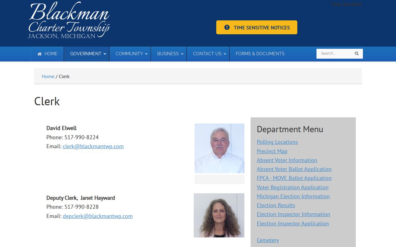
Use the clerk route to clarify election geography, while keeping it separate from parcel ownership or residence claims.
Blackman Township Civic Block Sources
Blackman Township documents its Planning Commission, ZBA, Parks and Recreation, Board of Review, Public Safety, Election Commission, and watershed or enterprise committees. These are civic institutions, not neighbor associations or resident rosters. Their public notices and meeting context can help explain a subdivision, plat, park, service area, or public project near a parcel, but they do not identify everyone who lives on a block.
| Local source | Block context | Limit |
|---|---|---|
| Planning and ZBA | Public land-use and project context. | Not a household directory. |
| Board of Review | Assessment administration context. | Does not establish occupancy. |
| Public Safety | Service-area and agency context. | Not a list of callers or residents. |
| Election Commission and Clerk | Precinct and election administration. | Not a social map of neighbors. |
The Blackman Township Public Safety page is an example of public service geography that exceeds one neighborhood or one municipal boundary.
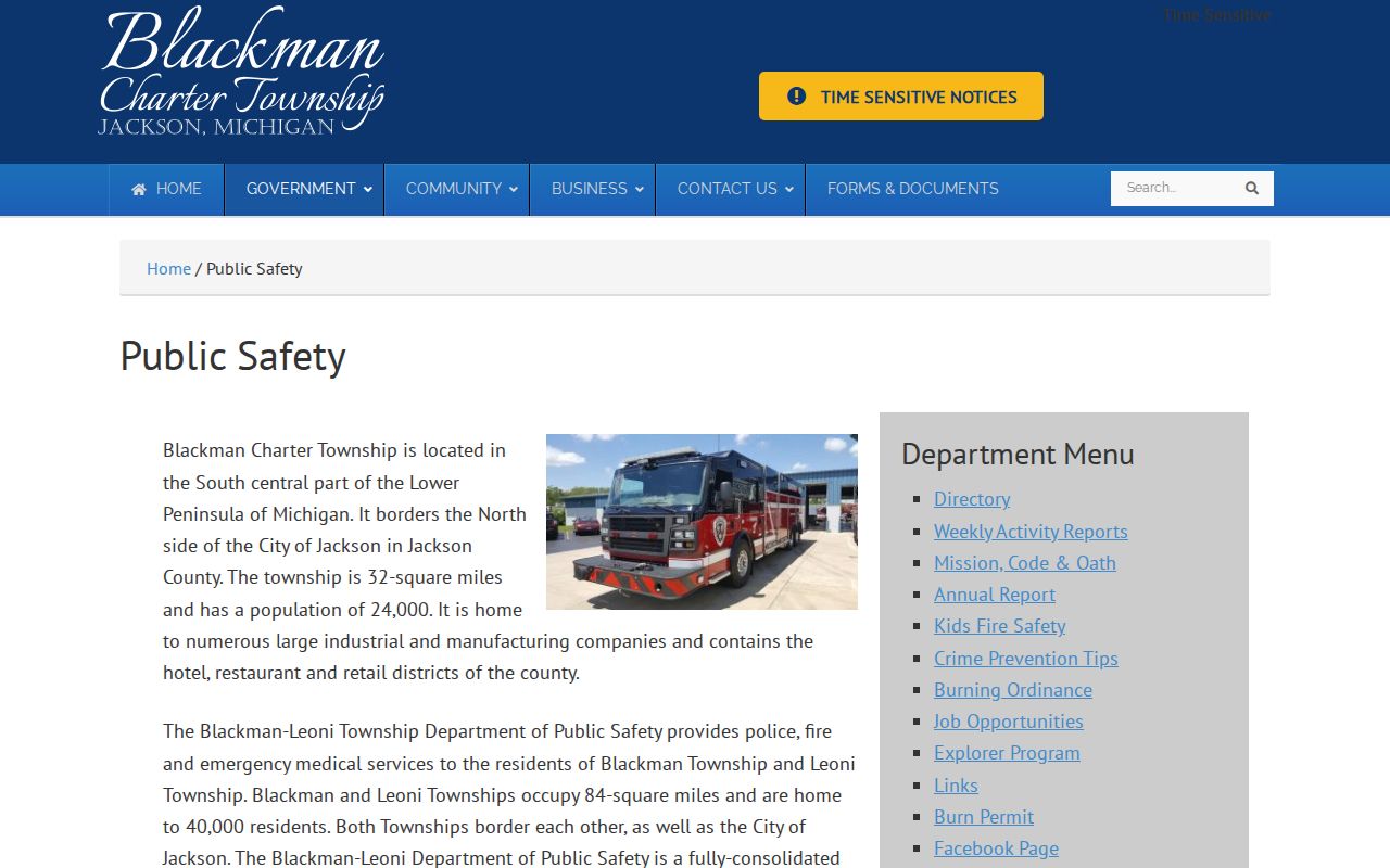
Its agency context can clarify a service area, but it should not be read as a Blackman Township neighbor roster.
Blackman Township Neighbor Association Gap
No official directory of Blackman neighborhood associations, block clubs, or homeowner groups was located. County Community Links point to regional institutions such as the Michigan Township Association, City of Jackson, Chamber, and Jackson District Library, not to a township association registry. An unofficial online group should not be treated as an authoritative list of neighbors. Plat names, subdivision instruments, county parcel clusters, precinct geography, parks, cemeteries, and public-meeting records are safer forms of public block context.
This absence is useful information. It prevents a searcher from assuming there is a hidden municipal roster to request. When a particular association or development record is relevant, identify the specific recorded instrument, public notice, or organization contact and verify its scope before relying on it. A FOIA request may seek an existing township record, but it does not require the township to create a new neighborhood directory.
Note: A civic board or regional community link can provide context, but it does not become a verified list of Blackman Township neighbors.
Blackman Township Neighbor Sources Compared
Official records and commercial neighbor-finding products are not interchangeable. Official sources tell a reader who keeps the record, what period it covers, and what it actually displays. Commercial tools may combine old addresses and names without showing the record date, jurisdiction, or source limits. For a block question, an official parcel map plus the appropriate custodian record is more transparent than an unverified compiled profile.
| Source type | Strength | Limit |
|---|---|---|
| Official parcel and assessment display | Mapped parcel and current assessment context. | Does not prove occupancy or survey boundaries. |
| Official election or clerk channel | Explains jurisdiction and protected public-record routes. | Not an unrestricted people list. |
| Historical directory or atlas | Dated address and local-history clues. | Scope, spelling, and coverage vary by edition. |
| Commercial compiled data | May offer a lead to verify. | Source, date, and accuracy may be unclear. |
Use a named official source as the confirmation record. Jackson County’s parcel system, the township, the clerk, the Register of Deeds, and library or archive collections each have a specific role. The best result is usually a modest, source-labeled conclusion rather than a broad claim about the people around an address.
Blackman Township Neighbor Privacy
Blackman Township neighbors research has firm limits. Michigan’s Address Confidentiality Program protects eligible participants through substitute addresses. QVF public-request fields exclude sensitive information, and public voter services are not an unrestricted roster. Parcel, postal, and precinct records should not be combined to expose a protected residence. Michigan anti-stalking law, MCL 750.411h, also makes repeated following, appearances at a residence, and harassment serious concerns.
Lawful use. Use Blackman Township neighbor records for personal, civic, and property-context research, and do not use any result to watch, harass, intimidate, or harm someone.
Michigan FOIA, MCL 15.231 et seq., can provide access to nonexempt existing township records. Send a precise request through Blackman Township’s FOIA channel, describing the address, date range, record type, and desired format. The custodian need not create a neighbor list or reveal exempt information. If the question involves an official boundary, use the township or county GIS rather than the parcel map alone.